An Act of Parliament was passed in 1758 for the building of a navigable waterway to connect Wakefield with Sowerby Bridge. This was ultimately to connect the North Sea with the Irish Sea: the Aire And Calder Navigation had reached Wakefield in 1702 – from Goole on the River Ouse. From Sowerby Bridge it was to connect via the Rochdale Canal to Manchester, though this was not completed until 1804. From Manchester the Irish Sea had been accessible via the Bridgewater Canal since 1761.
The Calder & Hebble reached Sowerby Bridge in 1770; it was part canal and part river, 22 miles long and with 28 locks at the time it was built. There was a short branch into Dewsbury and a longer one up to Halifax by the side of the Hebble Brook – hence the name. The Huddersfield Broad Canal was started in 1774, leaving the Calder & Hebble at Cooper Bridge.
Along its course the navigation has a number of interesting remains that are not always unique but certainly characteristic of the waterway:
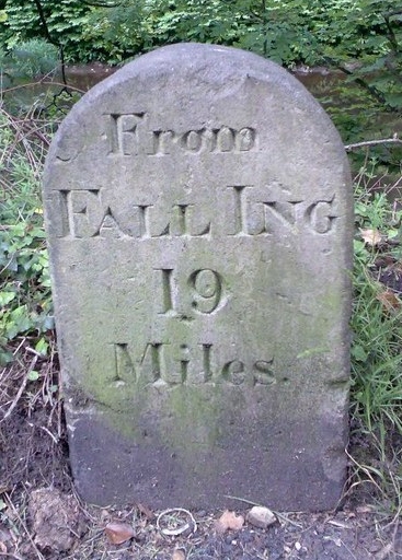
Milestones – The navigation started at Fall Ing Lock in Wakefield. (Fall Ing was a small suburb south-east of the city). Accordingly, all the milestones recorded the distance as “From Fall Ing … miles”. Approximately ten still exist, with particularly good examples at Salterhebble and Battyeford.

Half-mile and quarter-mile stones – Only a handful of these remain, including a half-mile stone found at Brookfoot and a quarter-mile stone at Thornhill Junction. The idea of half- and quarter-mile stones was imitated by the later Leeds-Liverpool Canal where many still survive although in a metal format painted white. They were probably to help with working out haulage charges.
Lock markers – Several of these can still be found; their purpose is simply to make boatmen aware of the proximity of locks. A 100 yards example can be found at Brookfoot near Brighouse whilst a 300 yards example can be found at Kirklees Lock.
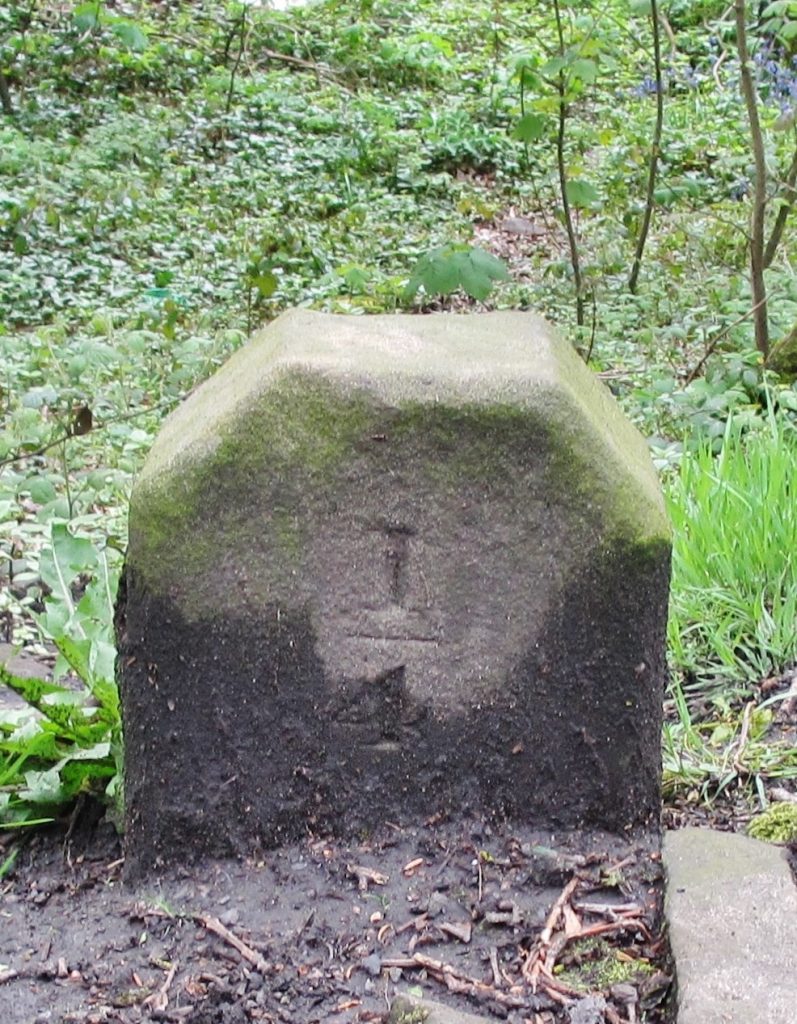
Railway company stone markers – As the canal boom was relatively short-lived due to the introduction of the railways, a number of canal companies ended up in financial difficulties and were sold to railway companies. These often continued to use the canals, particularly for bulky materials, into the 20th century. A number exist along the Kirklees Cut a couple of miles east of Brighouse. The initials stand for Lancashire & Yorkshire Railway. The stones probably marked the extent of land ownership beyond the towpath.

Towpath bridges – Horses were the only source of power until the mid-19th Century (and continued to be used well into the 20th). Where the towpath changed sides of the navigation (usually where canal and river met), a way had to be found to allow the horse to continue pulling the vessel without unhitching. This was achieved by the ‘turnover bridge’ which used to exist at Mirfield, Cooper Bridge, Brighouse and Elland. All these are long gone but a good example can still be found at Battyeford where the canal reaches the river.
Lock-keepers cottages – Many locks had cottages for the lock-keeper and fortunately a number still survive. A good example can be found at Salterhebble – pictured at top.
An edited version of an article by David Garside in the Milestone Society Newsletter, Jul 2013, no 25, pp 26-27.